
Little River State Park and Cotton Brook Trails
Suggested Trails in the Little River State Park Network Dalley Loop Trail The trail follows an old logging road through the forest, over small brooks, and past the remains of…

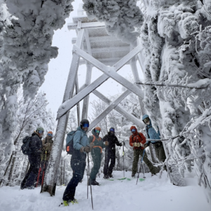
Catamount Trail
The Catamount Trail is Vermont’s long distance ski trail that runs from the Massachusetts border to the Canadian frontier. It was created by three young men looking for their next…

Brandon Gap Backcountry Ski Zone
The Brandon Gap Backcountry Recreation Area is a Ridgeline Outdoor Collective lead project in partnership with the United States Forest Service (USFS). The Brandon Gap Backcountry Recreation Area is located…
Braintree Mountain Backcountry Ski Zone
In 2013 Paul Kendall and his wife Sharon Rives, donated 1,547-acres to the New England Forestry Foundation (NEFF). The parcel is known today as the Braintree Mountain Forest. Located off…
Bolton Backcountry
The Bolton Backcountry is not a CTA/Chapter managed area. It is an independent area managed and maintained by the Friends Of Bolton Valley Nordic & Backcountry, and Bolton Valley Resort.…

Howe Block – Camel’s Hump State Forest
An array of trails that emanate efrom the top of Tucker Hill Road leading to the Mad River Valley Recreation Hub, downtown Waitsfield and Lareau Farm.
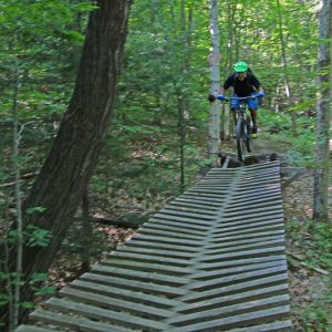
Millstone Trails
The Millstone Trails are network of multi-use trails traversing the historic quarry lands of Millstone Hill. The trails wind their way through northern hardwood and coniferous forests and along exposed…
Rochester Valley Trails
The Rochester Valley Trails boast great variety accessing multiple views of the narrow RT 100 valley through public and private lands. You can expect sections of the network to be…
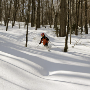
Bolton Valley Backcountry
With its expansive views of Lake Champlain, Bolton faces directly west across the widest part of the lake and lies right in the middle of the front range of the…
Catamount Trail – Section 18 – Lincoln Gap to Appalachian Gap
Snapshot This section includes a fun and challenging traverse and descent from Lincoln Gap, an open traverse of the rolling Sugarbush Golf Course with beautiful views, and a meander through…
Catamount Trail – Section 19: Route 17 to Camel’s Hump Road
Snapshot This is a challenging, remote, back-country section through Phen Basin, over Huntington Gap, and then through the wilds of Camel’s Hump State Park to Camel’s Hump Road in Huntington.…
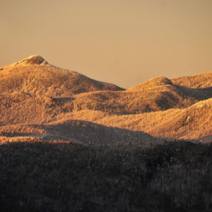
Camel’s Hump via Monroe Trail – Duxbury
Camel’s Hump Trail is a top day hike in the Green Mountain National Forest, boasting the third-highest peak in the state. The summit treats you to stunning views in all…
Hunger Mountain Headwaters
\Completed in 2020, the Hunger Mountain Headwaters project added nearly 2,000 acres to C.C. Putnam State Forest. The protected lands include vital habitat for wildlife, including moose, bobcat, and ruffed grouse. Wild…